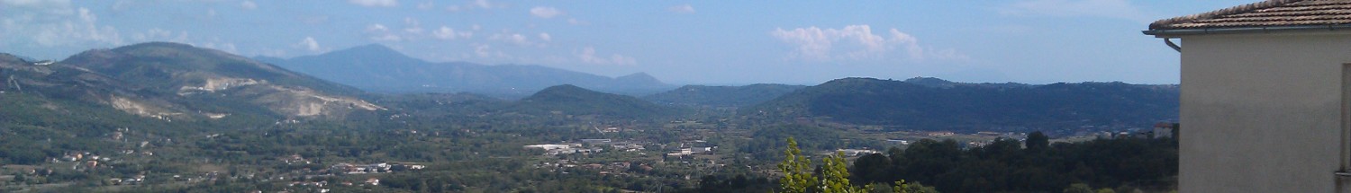
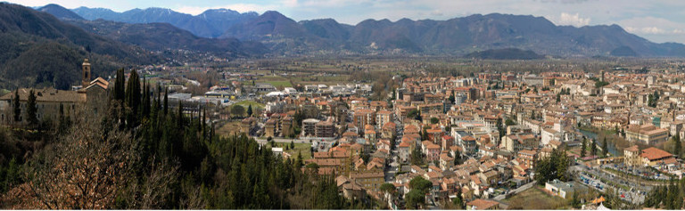
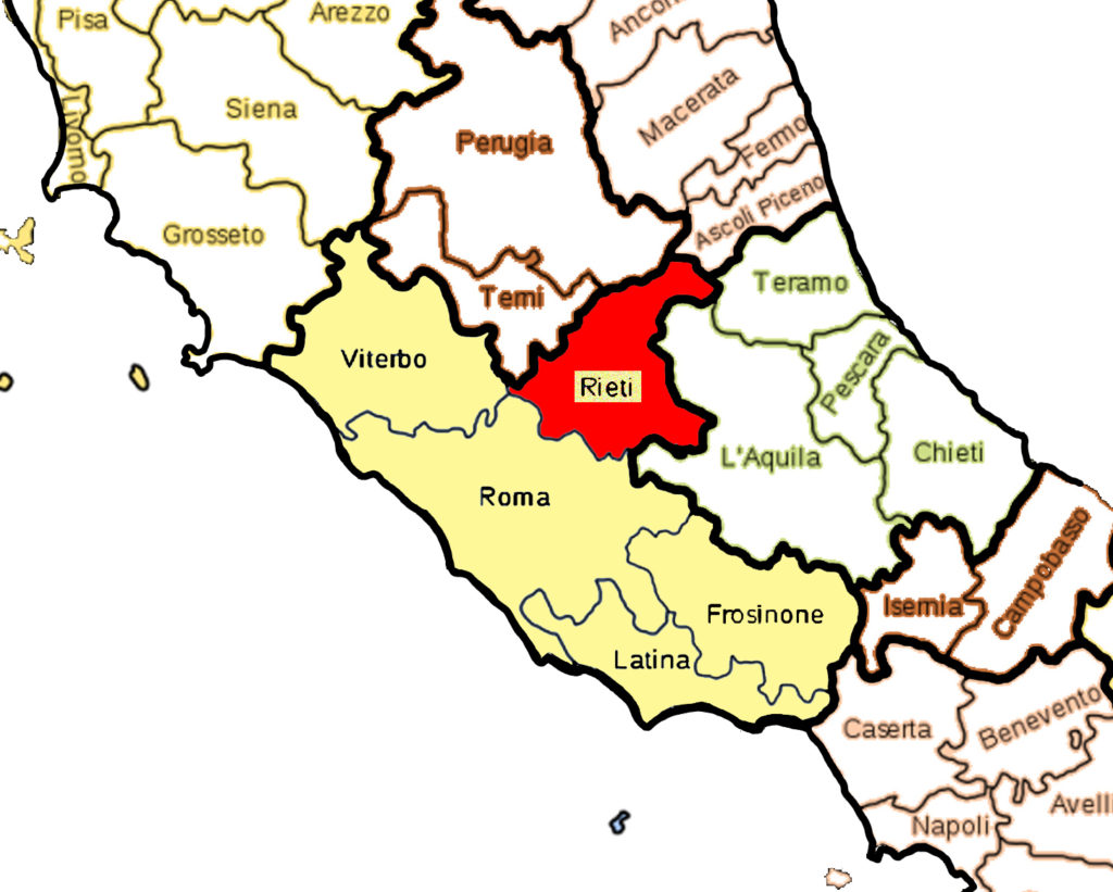
The province of Rieti has 73 municipalities, with Rieti as the capital. It is located on the slopes of the Sabini and Reatini Mountains, which are part of the Apennine mountain range. It has many rivers and lakes, including the Velino River and the Del Salto Lake, which is the largest artificial reservoir in the region of Lazio. It is connected to Rome by the ancient Via Salaria. As of 2013, the total population is over 159,000.
Rieti’s history dates back to ancient Rome. It was founded around 8th century BC by the Sabines and includes some of the first kings of Rome. It became prominent again during the Middle Ages when many popes established residences there, and so, there are many medieval ruins such as castles and fortresses, as well as ancient Roman ruins, including an underground Roman viaduct. St. Francis of Assisi came here to live out his life dedicated to God.
Because of its central geographic location, it is affectionately called Umbilicus Italiae, or the “navel” of Italy. In fact, there is a monument on the exact spot where it is in Piazza San Rufo in the city of Rieti.
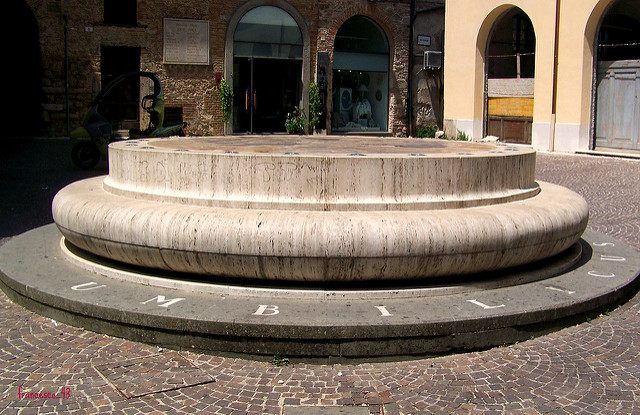
Umbilicus Italiae, Piazza San Rufo
Photo credit: Francesco @ Flickr.com
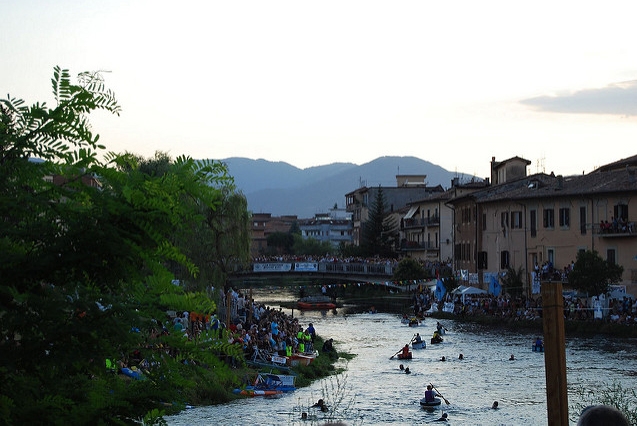
Velino River, Rieti
Photo credit: trippiit via Foter.com / CC BY
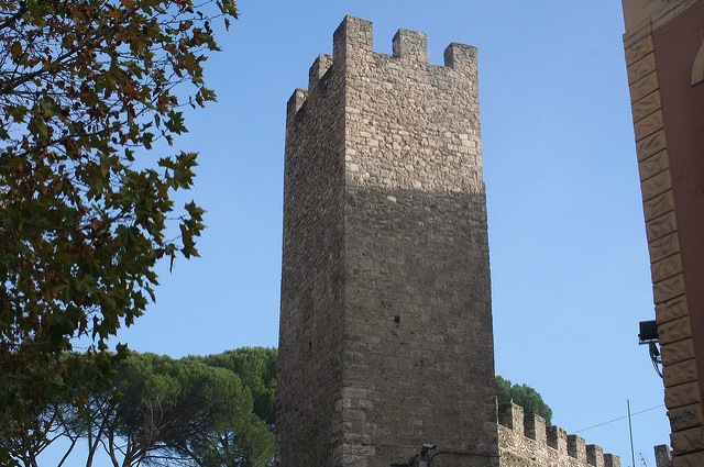
Medieval ruins
Photo credit: alessandrobl via Remodel Blog / CC BY
For travel arrangements go to Travel and Tourism.
MORE INFO COMING SOON! Join my mailing list so that you don’t miss anything.
Top photo credit: alessandrobl via Foter.com / CC BY
POSTS: